DRONE SOLUTIONS
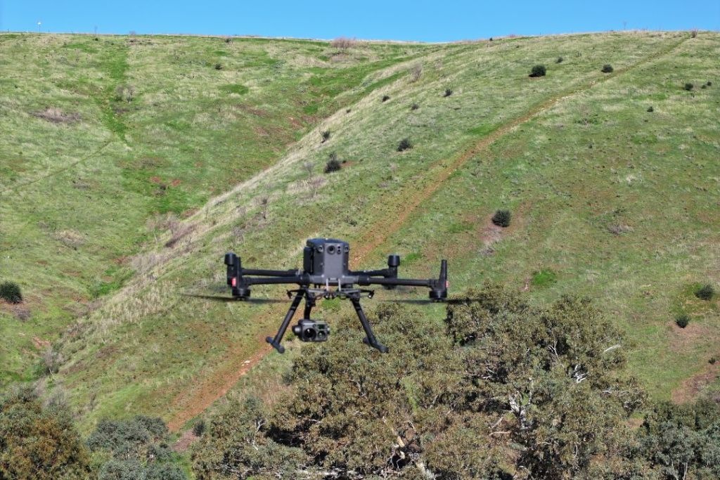
We take pride in being a dependable, local resource that helps farmers and site managers streamline their operations through honest work and precise technology.
Who Are We?
We believe that better data leads to better decisions. Based in South Australia and servicing the diverse needs of our local communities, we provide straightforward drone mapping and aerial surveying for the industrial and agricultural sectors. We don’t just fly; we help you see your land and assets from a more practical perspective.
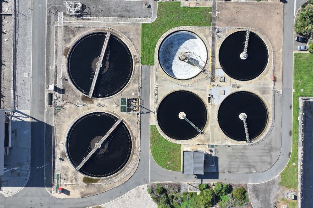
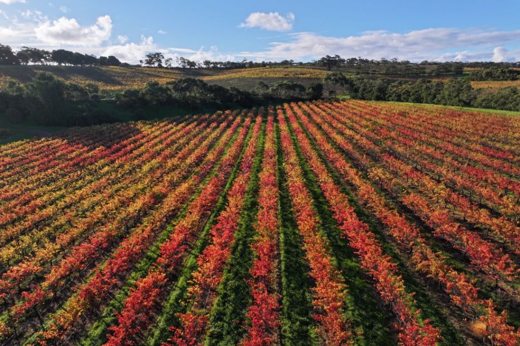
From broad-acre crop monitoring to detailed industrial inspections, our team is dedicated to supporting South Australian businesses with reliable, high-resolution imagery

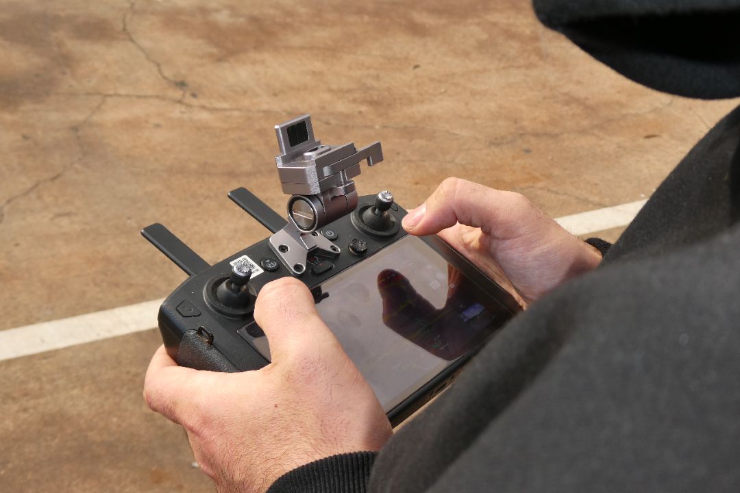
Better Data. Better Decisions.
Drone technology offers a safer, more efficient alternative to traditional ground-based inspections. Instead of sending personnel into high-risk areas or onto scaffolding, we capture high-resolution data from a safe distance, eliminating the need for heavy and costly machinery like cranes or cherry pickers and reducing site downtime. Drones cover hundreds of hectares in minutes, avoiding the soil compaction and crop damage caused by vehicles.
The data we collect is far more precise and repeatable than manual observations, providing a permanent visual record for your files. We’re a faster, more cost-effective way to maintain your assets and monitor your land — simply put, we see more while risking less.