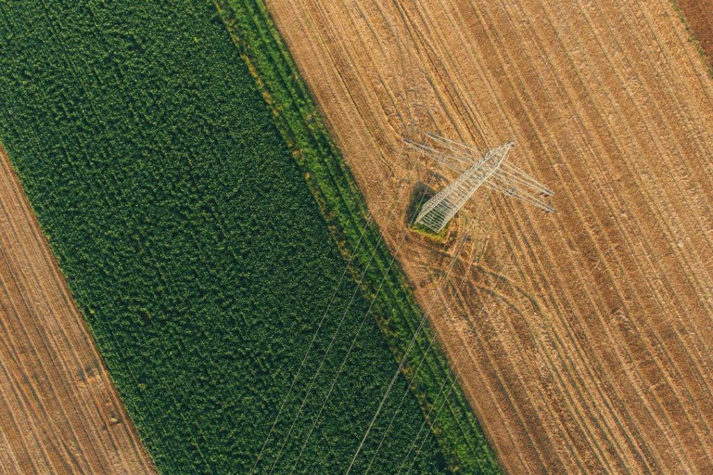
Drone Crop Monitoring
What is drone Crop Monitoring?
Adelaide drone crop monitoring is a data-driven method of managing farmland by capturing high-resolution imagery from above to assess plant health and soil conditions. Using specialised sensors, drones can detect subtle changes in light reflectance and temperature that are invisible to the naked eye, identifying signs of water stress, nutrient deficiencies, or pest infestations before they spread.
From broad-acre crop monitoring to detailed industrial inspections, our team is dedicated to supporting South Australian businesses with reliable, high-resolution imagery.


HOW DOES IT WORK?
The process is straightforward. We fly our drone across your property in a planned, systematic pattern, capturing high-resolution visual and thermal imagery of your crops as we go. That data is then processed and compiled into detailed maps and reports that clearly show you the condition of your land — broken down by area, so you know exactly where to focus your attention.
No heavy machinery, no trampling crops, and no guesswork. Just precise, actionable data delivered efficiently, so you can make informed decisions about irrigation, fertilisation, pest control, or harvesting without wasting time or resources in the field.
What are the benefits of using a drone?
Using a drone rather than more traditional methods allows farmers to move away from broad-acre treatments and instead apply water, fertiliser, or pesticides exactly where they are needed, optimising crop yields while reducing input costs.
Essentially, working smarter not harder! Our aim is to save you time and money, by producing high-quality data for you to make educated decisions before crop damage occurs.


Thermal Imaging & Field Mapping
Beyond mapping the crops themselves, drone technology provides a comprehensive look at the foundation of your farm: the soil. By generating high-resolution elevation models, we can map the unique contours of your land to pinpoint drainage patterns and identify persistent wet or dry spots.
]This precision not only eliminates under-performing spots but also protects the long-term health of your soil by preventing over-fertilisation.
Frequently Asked Questions
Adelaide drone crop monitoring works across virtually all broadacre and horticultural crops — cereals, canola, legumes, vineyards, orchards, vegetables, cotton, and pastures. It is equally useful for small hobby blocks and large commercial farming operations. If you are unsure whether your crop or terrain suits aerial monitoring, get in touch and we can advise.
Thermal cameras detect surface temperature differences invisible to other sensors. This makes them uniquely effective for identifying water-stressed plants (which run hotter than well-watered ones), pinpointing irrigation system failures such as blocked emitters or leaks, mapping frost damage, detecting early fungal or bacterial disease before visual symptoms appear.
We are certified Remote Pilot Licence (RePL) holders under CASA regulations in Australia. We handle all required airspace authorisations and notifications. As the landholder, you simply need to grant written permission for access to your property and advise us of any known hazards such as powerlines, irrigation pivots, or nearby airstrips. We take care of everything else.
Flight frequency depends on your crop type, growth stage, and goals. For intensive horticulture, fortnightly or monthly flights through the season are common. For broadacre cropping, key stages such as establishment, tillering or canopy closure, and pre-harvest are the most valuable intervention points. We offer seasonal subscription packages that reduce the per-flight cost and include priority scheduling during critical growth windows.
our other services